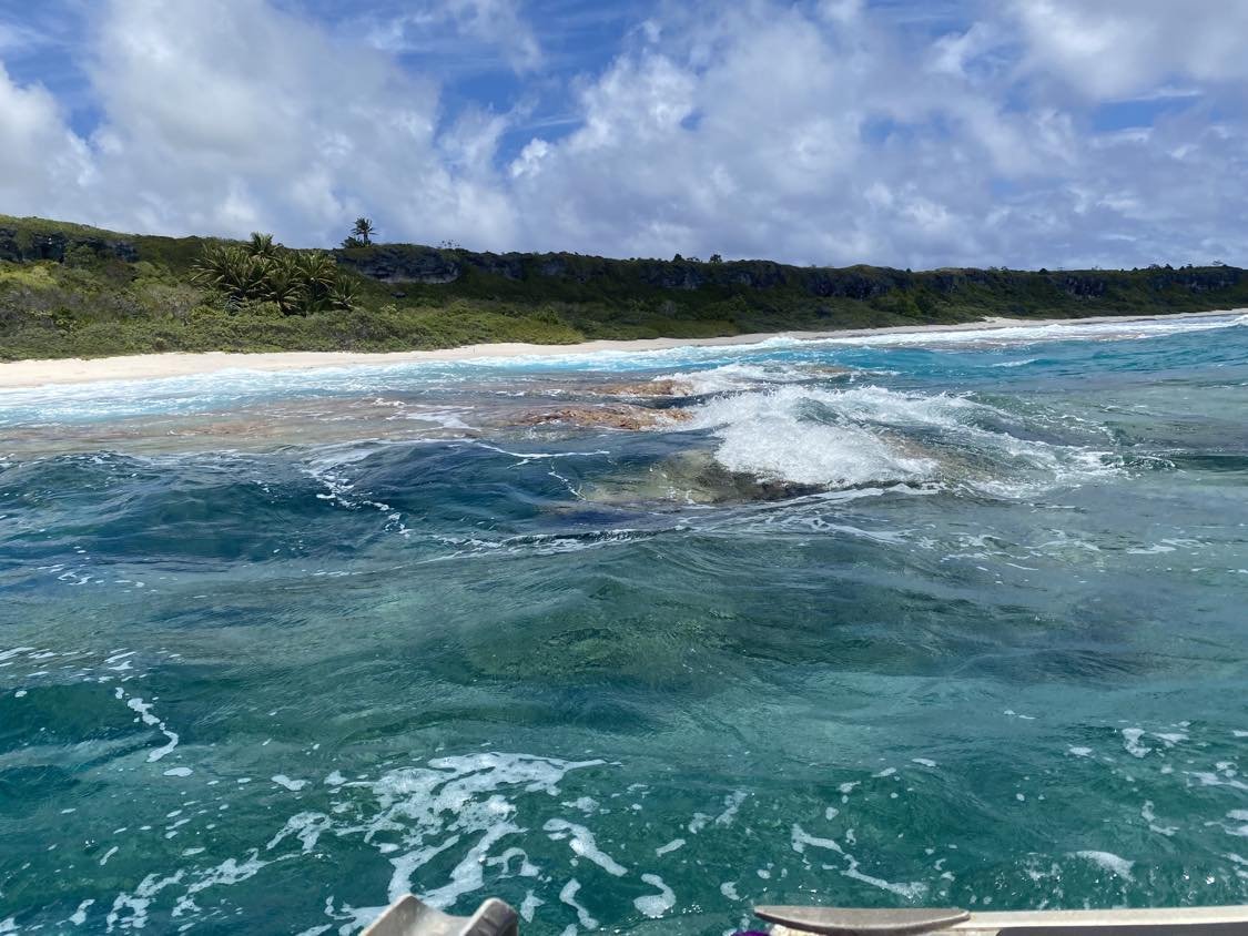
Head-Scratching News: Royal Navy Discovers Our Henderson Island Has Been Misplaced on Maps for 87 Years!
Recently, the Royal Navy discovered that our beloved Henderson Island has been incorrectly mapped a mile south of its actual location on charts since 1937.
This error was identified by the HMS Spey using radar and GPS technology. The original charts were based on aerial photography from 1937, which had inaccurate navigational calculations.
Glad we got that sorted!


